our services

Subsurface Exploration
We undertake subsurface investigations, analysis and reporting to support resource consent (subdivision) and building consent applications and for use in detailed design.
Investigations are tailored to the project and client’s needs. We can work independently, or with your project team to provide the information required.
Investigations typically include some combination of the following:
- Preliminary assessment of site surface conditions, and engineering geological mapping if required
- Determining topographic constraints
- Subsurface exploration and testing. This may include hand auger boreholes, Scala penetrometer tests, test pits, rotary drilling, cone penetration testing
- Lab testing of soil samples
- Analysis of subsurface data including material properties and constraints, slope stability modelling, liquefaction and lateral spread susceptibility and deformation estimates
- Soil bearing capacity and settlement parameters
- Geotechnical Investigation Reports

Retaining Wall Design
Our retaining wall services include:
- Design of retaining wall systems
- Geotechnical monitoring services during construction
- Damage assessment of existing walls
- Assessing suitability of existing walls for future development

Hazard Analysis and Mitigation
Assessment of geotechnical and geological hazards including:
- Earthquake hazards and fault avoidance zones
- Landslide and slope stability analysis
- Liquefaction and lateral spreading analysis
- Assessment of compressible soils and unsuitable soils
We also provide advice for mitigation of these hazards including:
- Slope stabilisation measures
- Setback and siting
- Geotechnical foundation recommendations
- Ground improvement design recommendations and verification

Earthwork Design and Certification
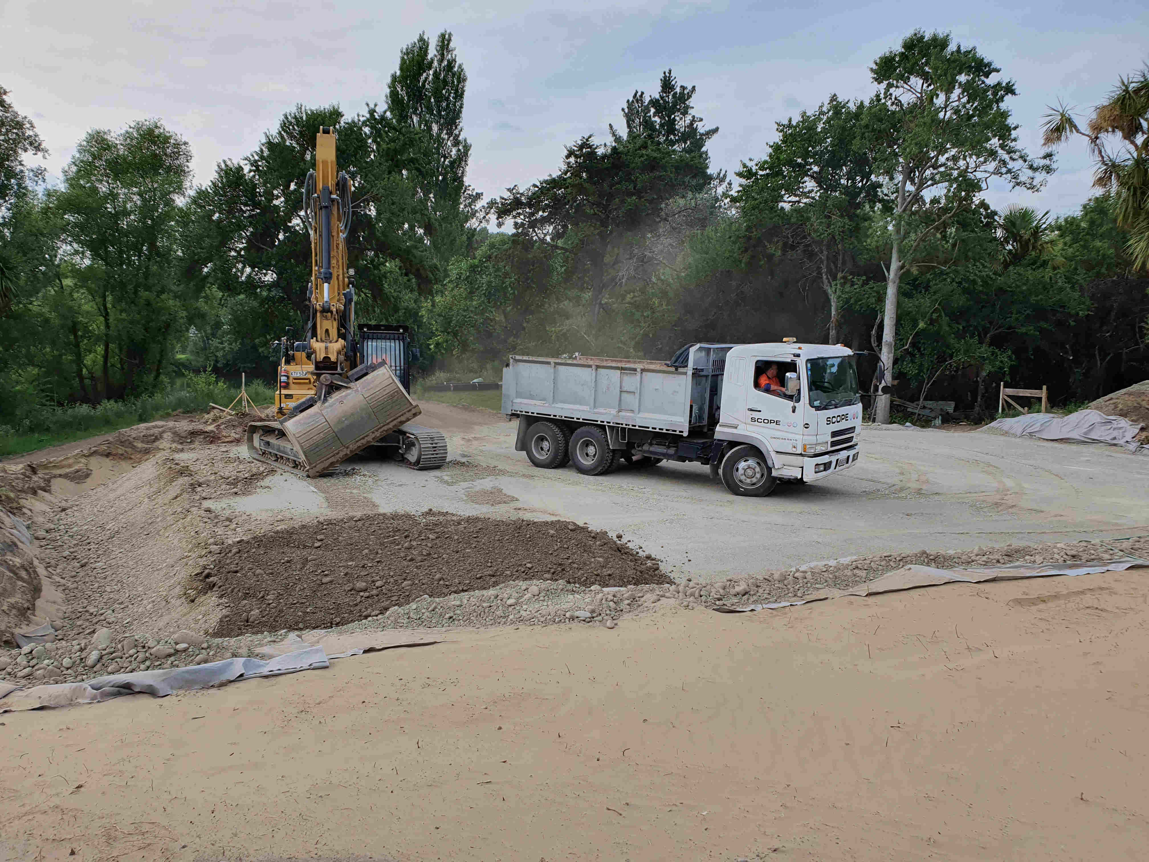
We provide consultation and design services for earthworks from the concept-and-design stage to geotechnical monitoring during construction.
- Earthworks design including fill specification
- Organising and verifying laboratory testing of fill materials including imported material and site won material
- Subgrade inspections
- Fill compaction testing during construction
- Fill placement verification and geotechnical completion documentation including issuing Producer Statements.

Surface and Structure Mapping
We provide mapping services for geotechnical purposes.
- High precision GPS for mapping geologic features and measuring ground deformation
- Aerial (UAV) photogrammetry
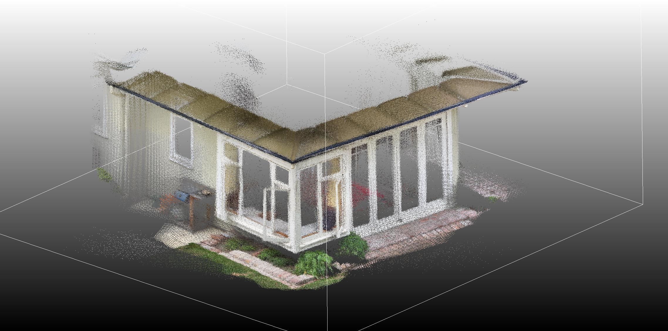
- Laser (LiDAR) scanning of ground surface, vegetation cover and structures
- Topographic models and detailed cross sections
- Engineering geological mapping
- Geotechnical plans
- Floor level surveys

Instrumentation
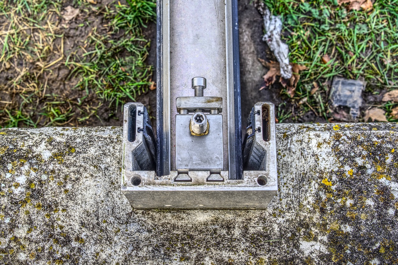
We design, install and monitor geotechnical instrumentation. This includes remote monitoring and surveying as well as in-ground instrumentation.
- Groundwater monitoring/piezometers
- Instruments to measure and remotely monitor settlement of structures and the ground surface
- Vibration monitoring during construction, demolition or pile installation
- Tiltmeter and inclinometer devices to measure and remotely monitor lateral deformation of retaining walls, excavations or slopes
- Extensometers and remote monitoring of unstable slopes and landslides
How can we help you
Petralogic provides a wide range of geotechnical services. Get in touch to discuss your project requirements today.
